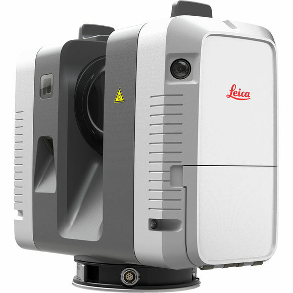
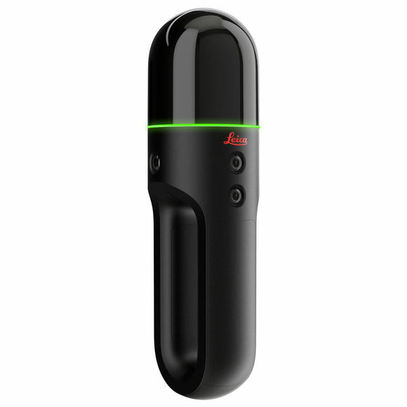
NavLive Handheld LiDAR Scanner - Real-Time 3D Mapping
The NavLive Handheld LiDAR Scanner is an advanced, AI-powered reality capture solution designed for construction, surveying, architecture, and building documentation. Built on cutting-edge robotics research from the University of Oxford, NavLive delivers centimetre-level accuracy, real‑time 3D mapping, and instant Scan‑to‑BIM workflows - all without tripods, GPS, or lengthy post‑processing.
Engineered for speed and efficiency, NavLive captures complete 3D point clouds, high-resolution images, and AI-generated 2D/3D floor plans simply by walking through a building. A typical floor can be scanned in 10-15 minutes, with data ready to view immediately on the device and fully uploaded to the NavLive Portal within minutes.
With its powerful onboard processing, integrated cameras, LiDAR sensor, and IMU, NavLive produces RICS-grade 1:100 surveys, making it ideal for fit-outs, renovations, as-builts, progress monitoring, and rapid site assessments. It integrates seamlessly with Revit, AutoCAD, SketchUp, Trimble Connect, and other BIM platforms, enabling fast, accurate modelling and collaboration.
Whether you're a surveyor, architect, contractor, or facilities manager, NavLive dramatically reduces time on site, eliminates processing bottlenecks, and delivers a reliable “record of truth” for the entire building lifecycle.
Technical Specifications:
System Overview
- Handheld scanning device with full Scan‑to‑BIM functionality
- Cloud‑based NavLive Portal for managing and sharing captured data
Performance
- Range: 60 m
- Points per second: 768,000
- Field of view: 360° × 104.2°
- LiDAR channels: 64
- Camera system: 3‑camera array, 1.6 MP, 305° × 86° colour, global shutter
- Battery duration: 3 hours idle / 1 hour scanning
- Battery charging: 1 hour via USB‑C fast charge
- Battery type: V‑Mount, USB‑C compatible
Mobile Scanning
- Precision: 10 mm (AI‑processed measurements “to the nearest 10mm”)
- SLAM engine: Robust multisensor fusion for trajectory and mapping
Scan‑to‑BIM Automation
- Automatic detection of walls, floors, ceilings, doors, and windows
- Automatic floor segmentation
- Exportable floor plans, elevations, and sections
Operation
- One‑button start/stop for scanning and photo capture
- Smartphone control via NavLive Connect (Android)
- Usable in any orientation: upright, upside down, sideways
Data Processing & Outputs
- All processing performed on‑device — no post‑processing required
- Architectural drawings: DWG, DXF, PDF
- Images: JPG
- Point clouds: E57, LAS (with intensity & colour)
- Internal storage: 1 TB
Physical & Environmental
- Supplied with protective backpack transport case
- Weight: Scanner 1.81 kg; Battery 0.44 kg
- Operating temperature: 0°C to +40°C
- IP rating: IP42
- Laser class: Class 1 (eye‑safe)
- Warranty: 1 year manufacturer warranty