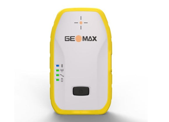


Leica GS11 GNSS Receiver with X-PAD
Visual Surveying, Calibration-Free Tilt, and Everyday CAD Simplicity
The Leica GS11 paired with Leica X-PAD field software delivers a modern, visual-first surveying workflow designed to eliminate site bottlenecks. By integrating multi-frequency GNSS positioning, calibration-free tilt compensation, dual high-rate cameras, and an integrated laser EDM into a rugged pole-mount unit, the GS11 allows surveyors and site engineers to capture points they cannot reach and navigate stakeouts with live augmented reality (AR).
Controlled through the map-centric, Android-native Leica X-PAD interface, this system replaces complex menu navigation with intuitive touch and live video interactions—dramatically reducing field-to-office turnaround times.
Key Capabilities
-
Augmented Reality Stakeout: Dual integrated cameras project digital design points, offset alignments, and boundary lines straight onto a live video feed of the site within X-PAD. Operators walk directly to points using visual site context rather than repeatedly looking down at delta coordinates.
-
Measure Points Beyond Physical Reach: When obstacles, safety hazards, or property lines block the pole tip, the GS11 offers three distinct ways to measure: pole measurement with tilt, photogrammetric measurement from captured imagery, or targeting with the integrated Class 3R green laser distance meter.
-
Calibration-Free Tilt Compensation: Immune to magnetic interference, the onboard inertial system lets you measure immediately without levelling the physical vial, maintaining precision even around metallic structures, reinforced slabs, or moving vehicles.
-
Map-Centric CAD & BIM at the Pole: X-PAD runs natively on rugged Android controllers (such as the Leica CSX8) and third-party tablets. View and interact directly with native DWG, DXF, LandXML, and IFC files—snapping to line vertices and generating coordinate offsets on the fly.
-
Continuous Operation & Connectivity: Dual hot-swappable batteries deliver up to 12 hours of field operation without powering down. Dual communications via an integrated 4G LTE modem and multi-protocol UHF radio ensure flexible network RTK (Hexagon SmartNet) or local base-rover functionality.
Technical Specifications
|
Parameter |
Specification Details
|
|---|---|
|
GNSS Channels & Tracking |
1,400+ channels; GPS, GLONASS, Galileo, BeiDou, QZSS, NavIC, and SBAS |
|
RTK Accuracy (ISO 17123-11) |
Hz: 8 mm + 1 ppm / V: 15 mm + 1 ppm (typically < 5 s initialisation) |
|
Tilt Compensation |
Calibration-free, magnetically immune; additional Hz uncertainty < 2 mm + 0.3 mm/° down to 30° tilt |
|
Integrated Cameras (GS11 I) |
Front: 2 MP global shutter (80° Hz FOV @ 25 fps); Down-facing: 5 MP rolling shutter |
|
Remote Measurement |
Class 3R green laser EDM (typically 10 mm + 5 mm/m 2D up to 25 m distance); Image-based measurement (typically 5 mm + 2 mm/m up to 10 m) |
|
Operating System & Software |
Leica X-PAD running on Leica CSX8, Android tablets, or rugged smartphones |
|
Data & Cloud Sync |
Direct sync to Hexagon GeoCloud and X-PAD Fusion; exports DWG, DXF, CSV, PDF, and LandXML |
|
Power Supply |
Two hot-swappable Li-Ion batteries (up to 12 h runtime); external 10.5–26.4 V DC support |
|
Environmental Rating |
IP66 / IP67 waterproof and dustproof; withstands 2 m pole topple onto hard ground |
|
Operating Temperature |
-10 °C to +60 °C (with cameras/laser active); -30 °C to +65 °C (GNSS standard mode) |
|
Total Weight |
1.27 kg (antenna body) / ~3.50 kg complete RTK rover pole assembly |
Available Configurations
-
Leica GS11 I: The comprehensive visual surveying package featuring dual cameras, green laser EDM, AR stakeout, image point capture, and tilt compensation.
-
Leica GS11 T: Tilt-compensated high-productivity GNSS rover for teams prioritising rapid physical point capture without visual or laser imaging features.