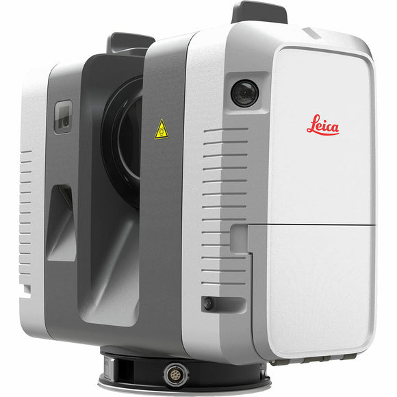
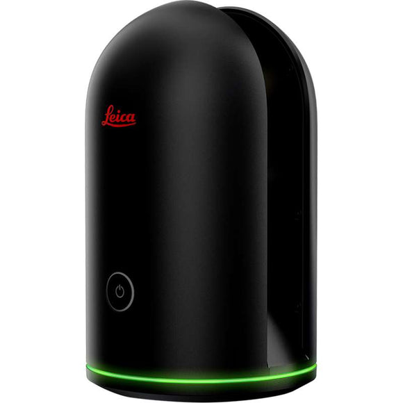
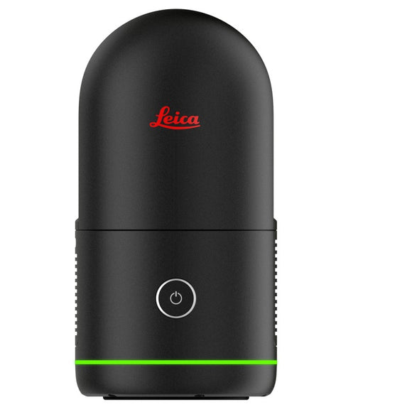
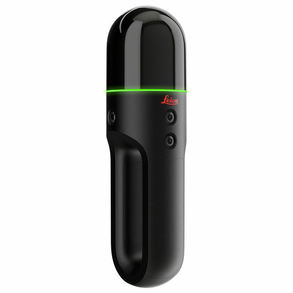
FJD Trion P2 LiDAR Scanner(1TB, New camera)+ Basic Permenant License
FJD Trion P2 LiDAR Scanner - Portable High-Accuracy 3D Reality CaptureScanner
The FJD Trion P2 LiDAR Scanner is a next‑generation portable 3D scanning system designed for fast, precise indoor and outdoor reality capture. Weighing just 700 g, it delivers industrial‑grade accuracy, real‑time true‑color point clouds and multi‑format outputs for surveying, construction, BIM, CAD, infrastructure, mining, forestry and digital‑twin workflows.
With 200,000 points per second, a 360° × 59° field of view, and advanced Multi‑SLAM Fusion, the P2 maintains stable performance even in featureless environments such as tunnels, beaches and open terrain. Real‑time colorization, HyperDense+ processing and on‑device CPU acceleration make it one of the most capable portable LiDAR scanners available.
Key Features
- Accuracy: 1 cm relative, 3 cm absolute (post‑processed)
- LiDAR speed: 200,000 pts/s
- Range: 70 m at 80% reflectivity; 40 m at 10% reflectivity
- Field of view: 360° × 59°
- Weight: 700 g (scanner only)
- Runtime: Up to 4 hours (dual‑battery system)
- Real‑time colorization: 2 MP global‑shutter front camera + dual 48 MP RGB cameras
- HyperDense+: 5–7× denser point clouds for improved detail
- Storage: 512 GB SSD (expandable to 1 TB)
- Ingress protection: IP54
- GNSS/RTK support: Optional module for georeferenced scanning
Performance & Workflow
The P2 combines LiDAR, SLAM and high‑resolution imaging to produce dense, true‑color point clouds in real time. Multi‑SLAM Fusion reduces drift and improves stability in challenging environments, while HyperDense+ processing increases point‑cloud density for detailed CAD, BIM and inspection deliverables.
Operators can monitor scans live through the FJD Trion Scan App, and process data in FJD Trion Model (desktop/tablet) or Trion Model Web (cloud). A single scan can generate multiple outputs including point clouds, 2D floor plans, 3D meshes, Gaussian splatting models and georeferenced panoramas.
Technical Specifications
- Laser: 905 nm, Class 1
- LiDAR speed: 200,000 pts/s
- Range: 40 m @ 10% reflectivity; 70 m @ 80% reflectivity
- Real‑time accuracy: 2 cm relative / 5 cm absolute
- Post‑processed accuracy: 1 cm relative / 3 cm absolute
- Cameras: 2 MP front + 2 × 48 MP side
- Dimensions: 110 × 106 × 280 mm
- Weight: 700 g (scanner only), up to 1500 g with battery/external camera/RTK
- Battery life: ~4 hours
- Storage: 512 GB SSD (1 TB expandable)
- Connectivity: Wireless network, USB‑C, USB flash disk
- Operating temperature: −20°C to 50°C
- Ingress protection: IP54
- Point‑cloud formats: .las, .ply, .pts, .e57
Applications
- Surveying and topographic mapping
- Construction progress and as‑built capture
- Scan‑to‑BIM / Scan‑to‑CAD workflows
- Infrastructure and utility documentation
- Mining, stockpile and volume analysis
- Forestry and environmental mapping
- Industrial facility and asset documentation
- Public safety and forensic scene capture
- Digital twins and 3D visualization